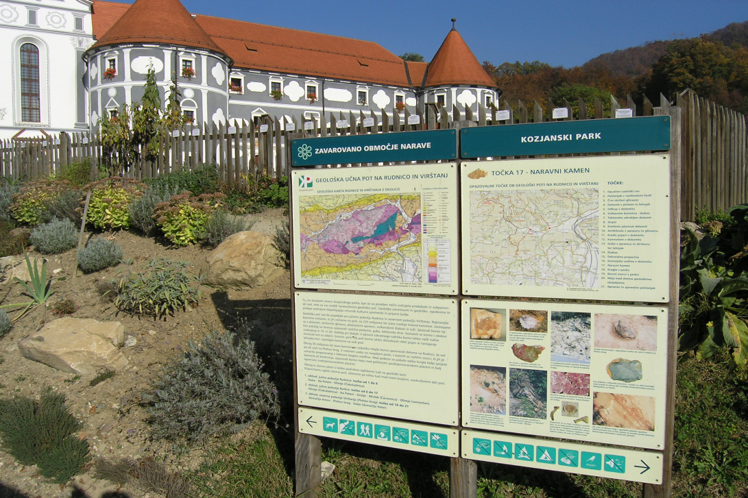
PODČETRTEK GEOLOGICAL TRAIL
Discover the geological history of the landscape
The geological trail runs in the northern part of the Kozjanski Park, around the village of Olimje, and offers beautiful views of most of the protected area. The variety of geological structures along the route is suitable for presenting the geological development and geological structure of Kozjansko, but there are also other natural values and cultural heritage worth visiting.

BASIC ROUTE INFORMATION:
- Length of the route: 10 km
- Time required: 4 to 6 hours, three partial circular tours of 1 to 2 hours are possible
- Marking: 21 points of interest are marked with information and orientation signs.
- Altitude difference: 230 m above sea level. v. – the lowest point, 420 m asl. v. – the highest point
- Difficulty: suitable for the visitor with average physical abilities.
- Starting point: Slake near Olimje, at the abandoned mine tunnel, about 1 km from Podčetrtek towards Olimje turn right (at the Church of the Virgin Mary on ‘Pesek’).
- GPS coordinates of the trailhead: x=545 212, y=111 970
- Guidebook and leaflet: On the geological trail to Rudnica and Virštanj.
- Guided tours: Kozjanski park, Podsreda 45, Podsreda, tel. nb.: 03 800 7100


